Aerial Photogrammetry
Rapid deployment, high accuracy
We believe small drones with long flight times and optimized flight plans are the future of photogrammetry. Our robust back end processing can handle 1500 images per render and leverages cloud computing so it takes a fraction of the time.
Various outputs to fit your needs
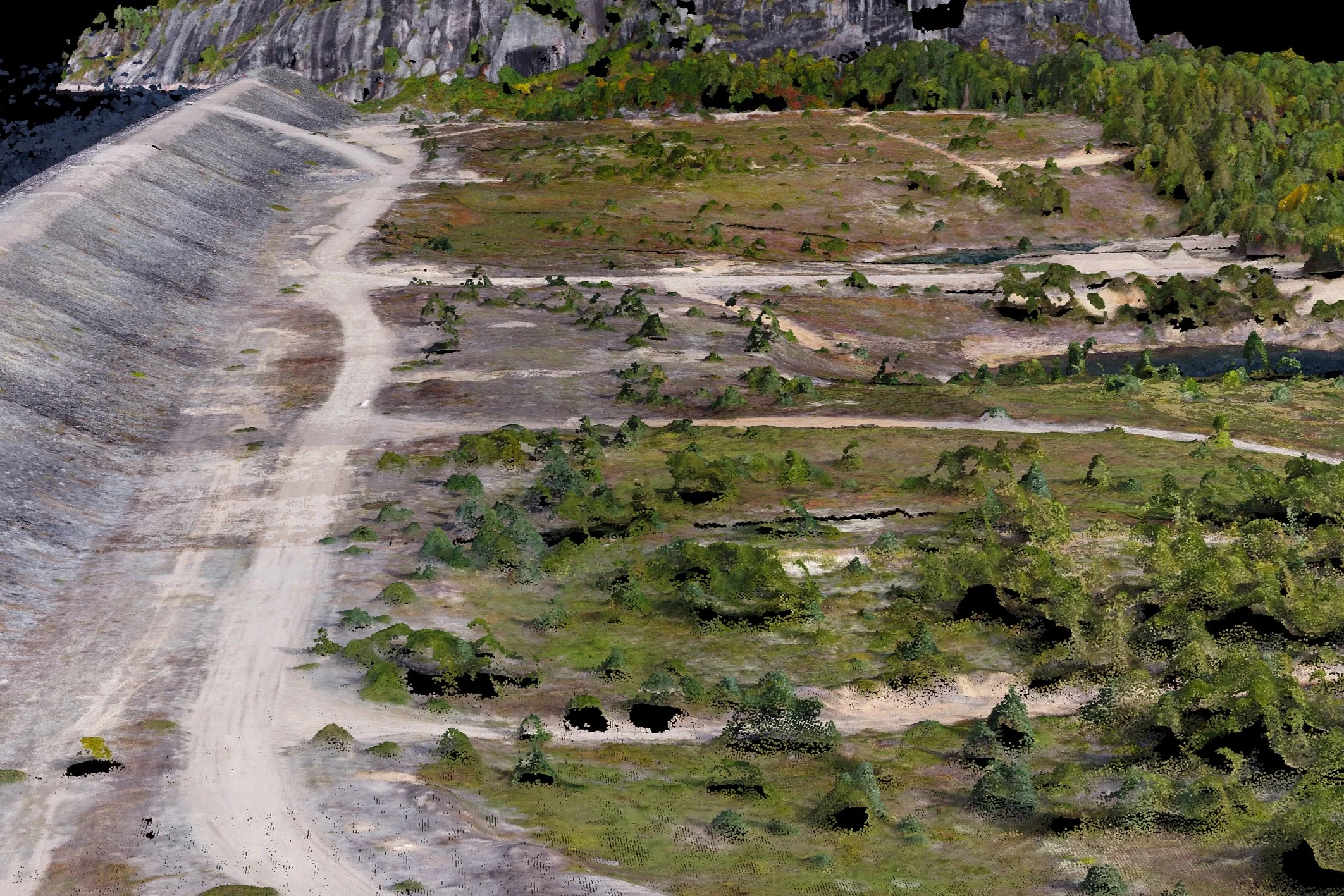
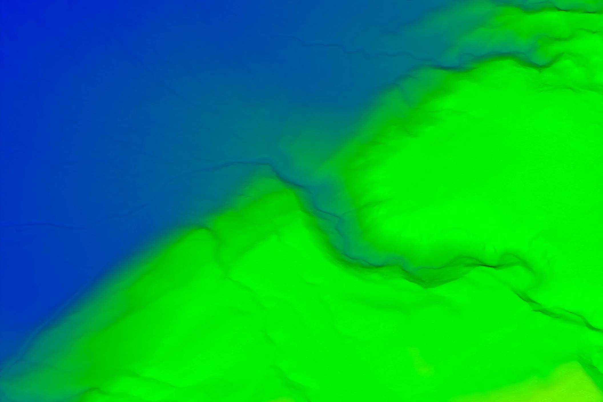
Access your data in numerous formats to fit your needs, all in full color. Supported exports include: .las, .laz, .csv, DEM, DSM, .tif, .obj
See the whole picture
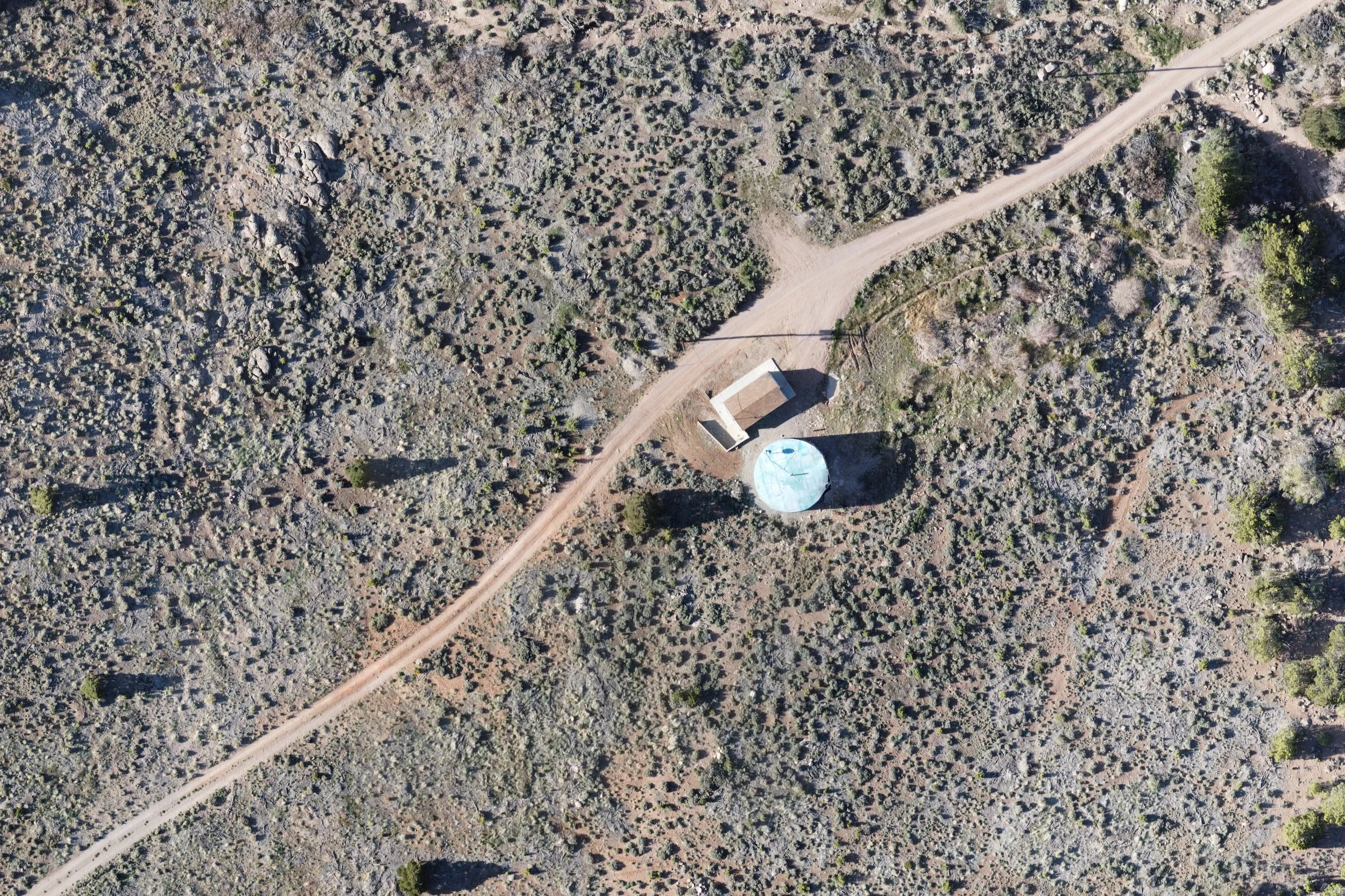
Orthophotos with a maximum resolution of 1cm per pixel and true to life dimensions make for an unprecedented and up-to-date view of your site. No longer are operations hindered by out of date satellite imagery. Supported Exports: .TIF, .PNG, .KMZ, .JPEG, and .LZW
Take it a step further
Go beyond photogrammetry. Our in house specialists can produce DSM and DTM contours as .shp or .dxf files. Produces .las and .lax clouds with removed vegetation and structures. Conduct fracture trace analysis and structural geologic analysis on point clouds.


