GIS and Digitization
Bring in the new
Include up-to-date imagery provided by our in house aerial photogrammetry team in your maps and reports. Gone are the days of relying on out-of-date images or slow and expensive maned aerial surveys.
Update the old
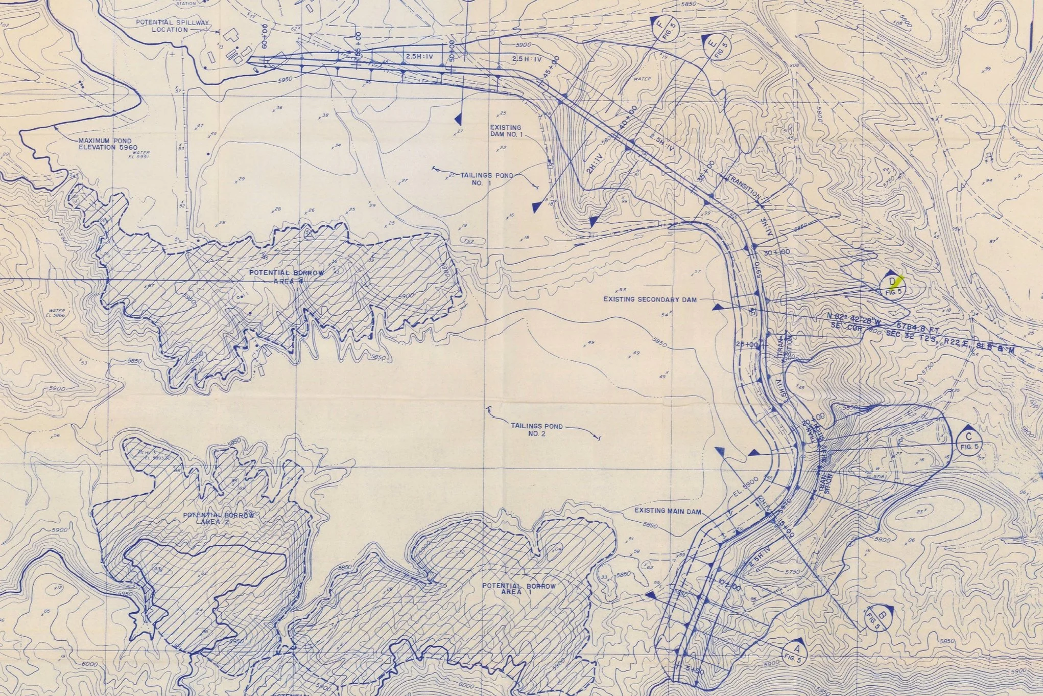
Sometimes old hand drafted maps are our best resource; especially for aging infrastructure. Bring these assets up to today’s standards by converting them into 2D and 3D polylines such as shapefiles and CAD compatible formats including .dxf and others. We take these refreshed assets the extra step by rectifying them and including them in modern GIS maps.
Limitless Possibilities
Digitizing hand drafted maps makes it possible to view data in previously impossible ways. Toggle on and off layers and dig deep into a site like never before.
Expanded Services
-
Build a holistic view
Whether you are trying to manage resources or outsourcing collection and processing to Pogonip Group we can compile and organize all of your assets into one unified map to make site manager easier.
-
Export maps and figures
Exporting maps and figures for site plans or reports is a key part to our data pipeline for sharing and managing assets. We strongly believe maps should be easy to understand while providing powerful information.
-
Long term site management
Outsource your GIS needs and let Pogonip Group take care of everything. We can meet on a set schedule or cater to more dynamic teams and provide all the GIS support needed for site operations and reporting.


