Rapid deployment, high accuracy
Long-endurance small drones, deliberate flight planning, and cloud processing make it possible to collect and validate large datasets before demobilizing from site.
Capability / 01
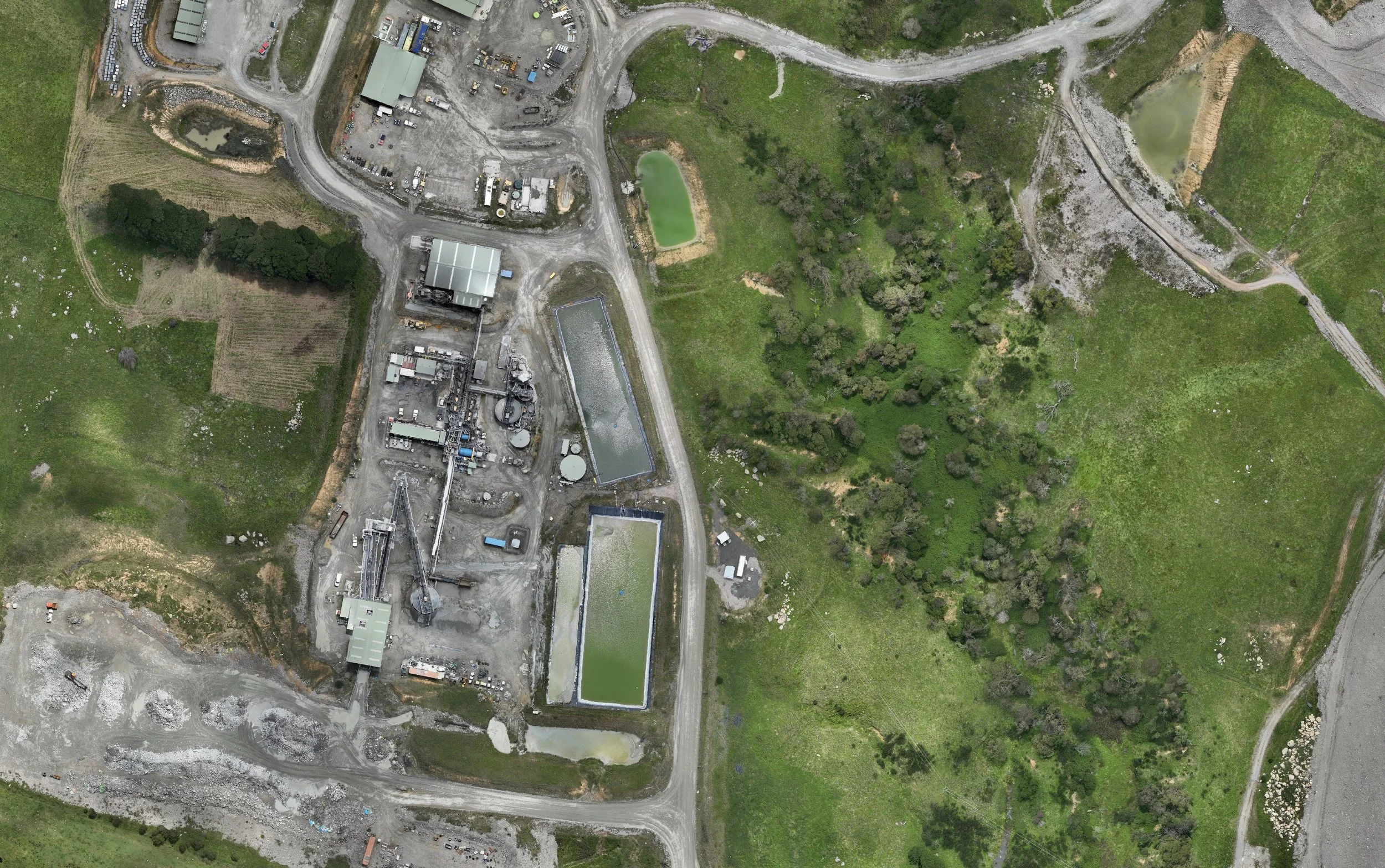
High-accuracy spatial data captured with the speed, control, and resolution complex sites require.
Precision, made useful
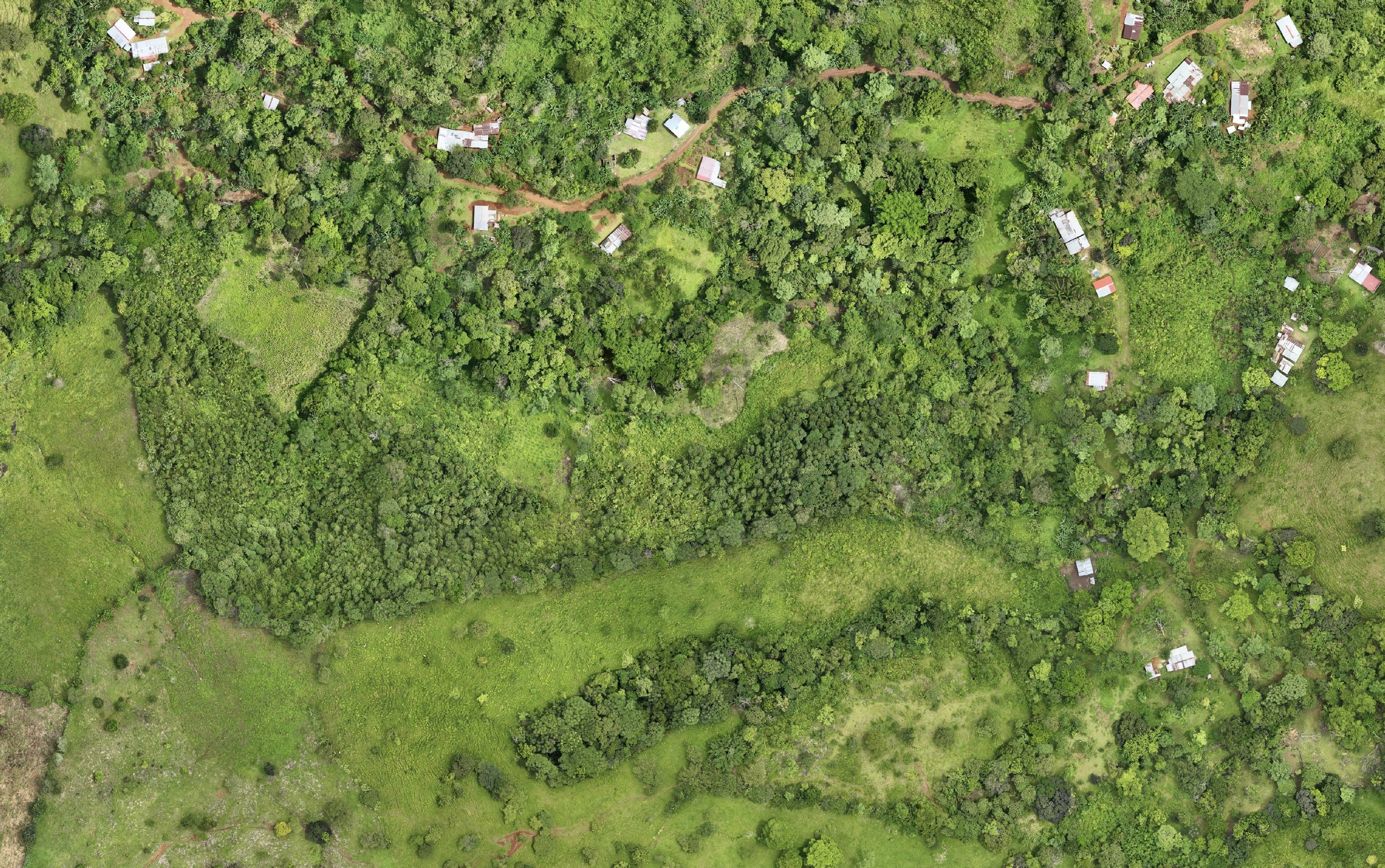
Photogrammetry is not simply a capture method. It is the discipline of turning thousands of images into one defensible spatial record.
Our workflow combines skilled operators, optimized flight plans, and robust cloud processing. Thousands of images can be transformed into analysis-ready outputs in a fraction of traditional processing time.
Download quality reportLive evidence / Orthophoto
Navigate a real cloud-hosted orthophoto with measurement and layer controls. The demo shows how deliverables can move directly from processing into a usable technical workspace.
Open full-screenConnected workflow
The value of a survey is measured by the decisions it enables. We shape the collection and outputs around engineering, geological, operational, and reporting needs from the outset.
Long-endurance small drones, deliberate flight planning, and cloud processing make it possible to collect and validate large datasets before demobilizing from site.
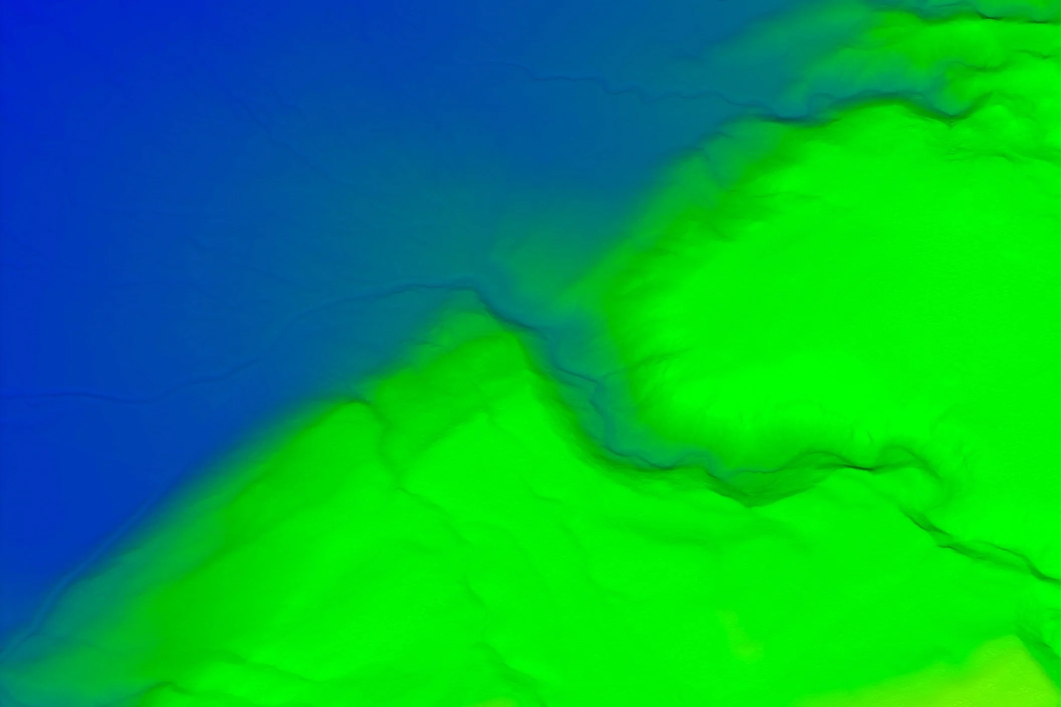
Full-color point clouds, elevation products, and models are delivered in practical formats including LAS, LAZ, CSV, DEM, DSM, TIF, and OBJ.
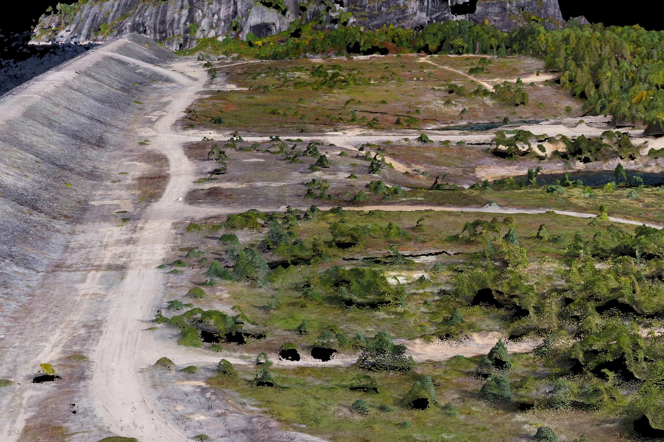
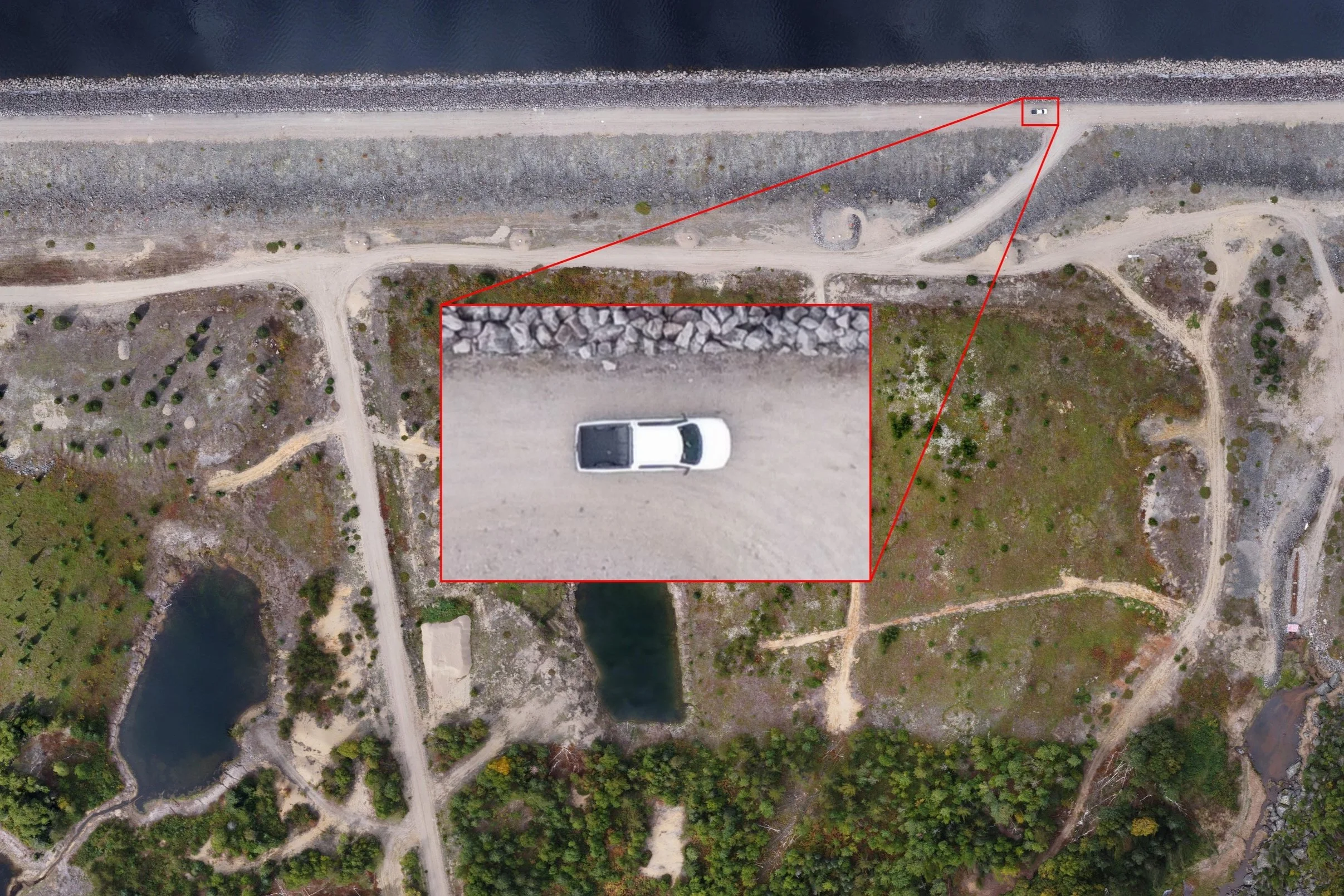
Orthophotos with true-to-life dimensions and resolution down to 1 cm per pixel create a current, measurable record of the site—not an outdated basemap.
Our specialists can generate DTM and DSM contours, classify point clouds, remove vegetation and structures, and support fracture-trace or structural-geology analysis.
Deliverables
Start a conversation
Share the site, objective, accuracy requirement, and schedule. We will help define a practical flight and processing scope.
Discuss a project