 01
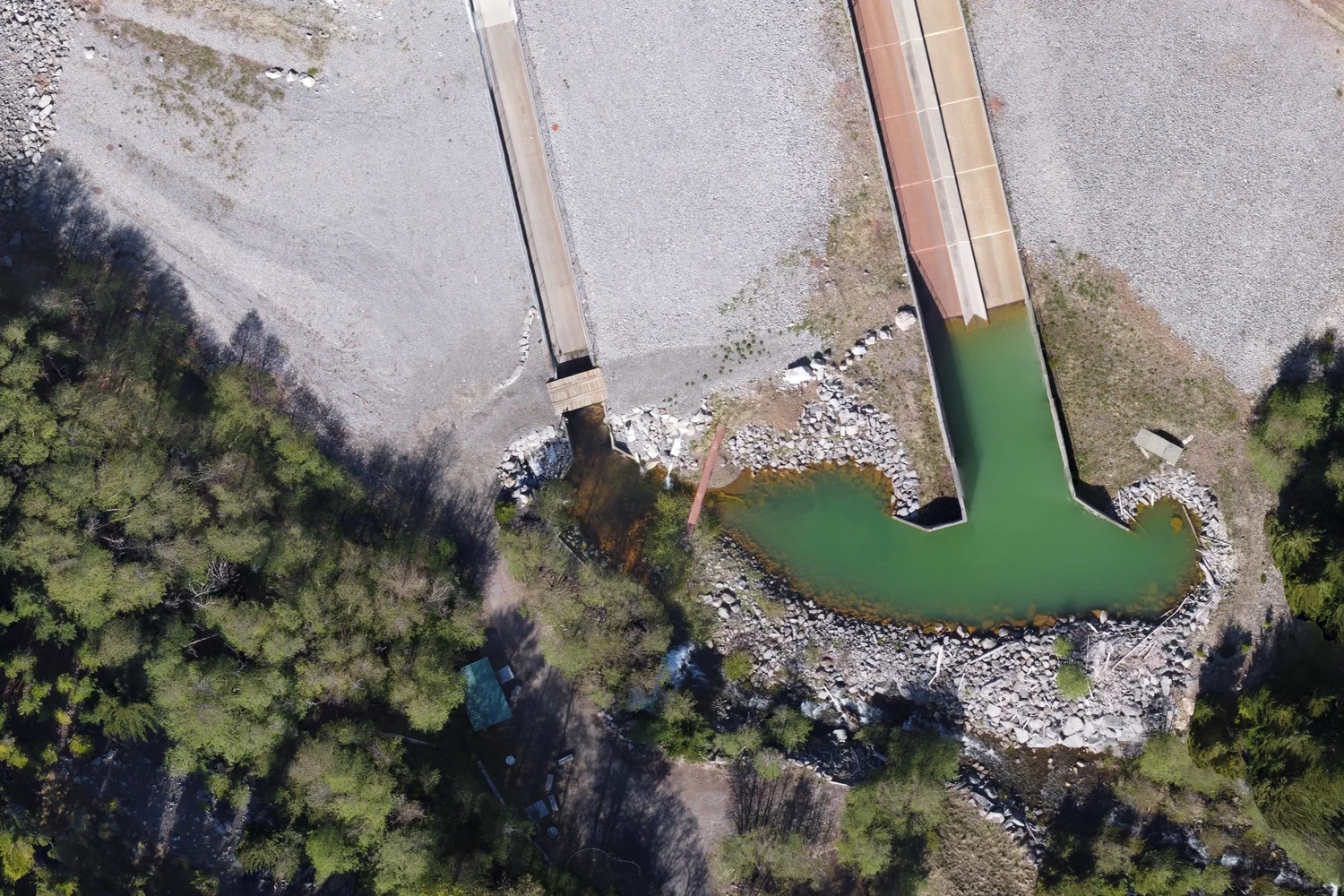
01Bring in the new
Current imagery, in context.
Integrate up-to-date aerial imagery from our photogrammetry team directly into maps, site plans, and reports. Work from a current record without waiting for expensive crewed aerial surveys.
Capability / 03
Bring current imagery, legacy records, and field information into one structured spatial view of the project.
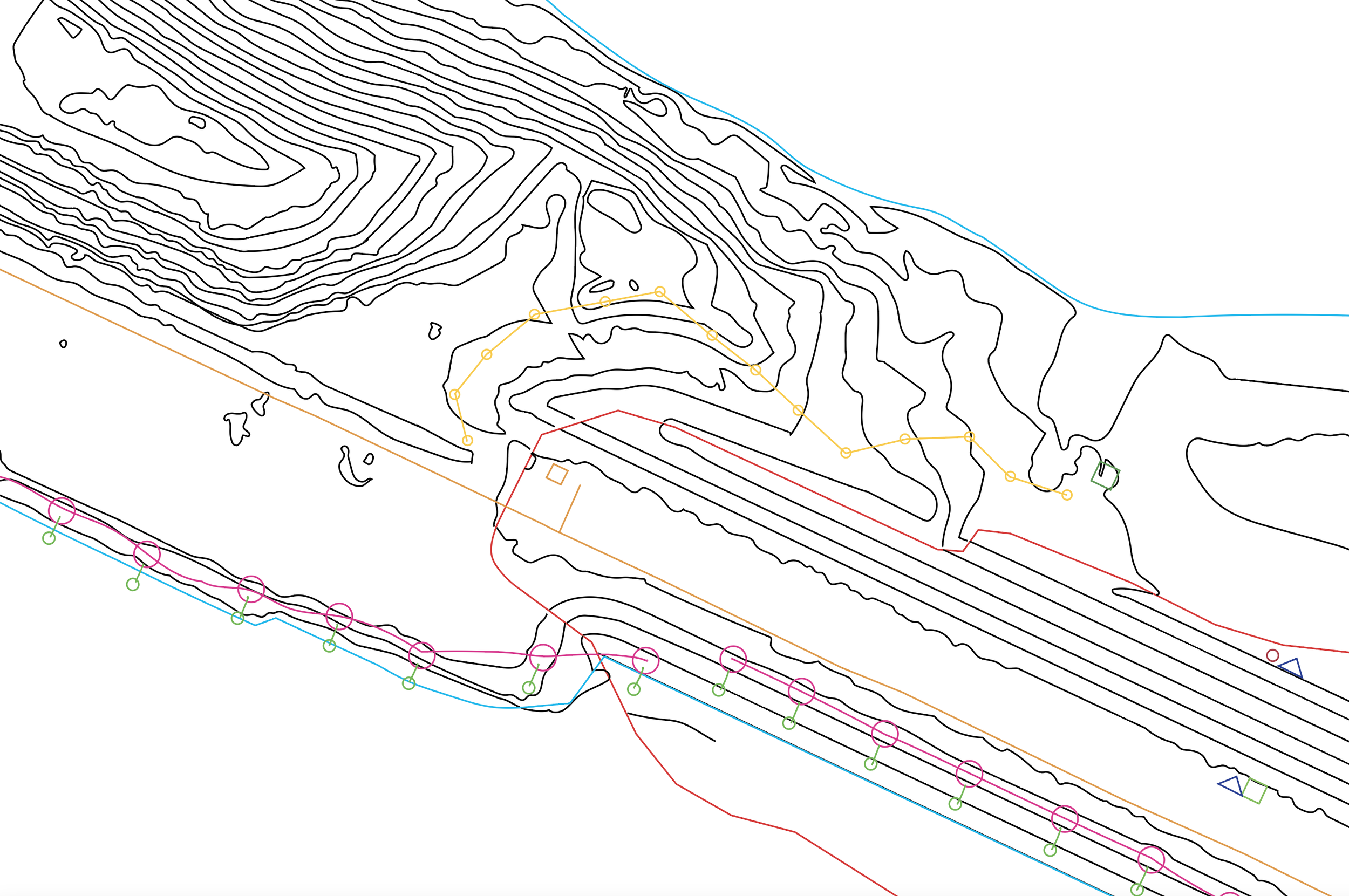
One spatial source of truth
The best map does more than show where things are. It makes the relationships between them understandable.
We design GIS around how project teams actually work: reconciling old and new information, preserving lineage, and producing outputs that are clear enough for immediate use.
01Bring in the new
Integrate up-to-date aerial imagery from our photogrammetry team directly into maps, site plans, and reports. Work from a current record without waiting for expensive crewed aerial surveys.
 02
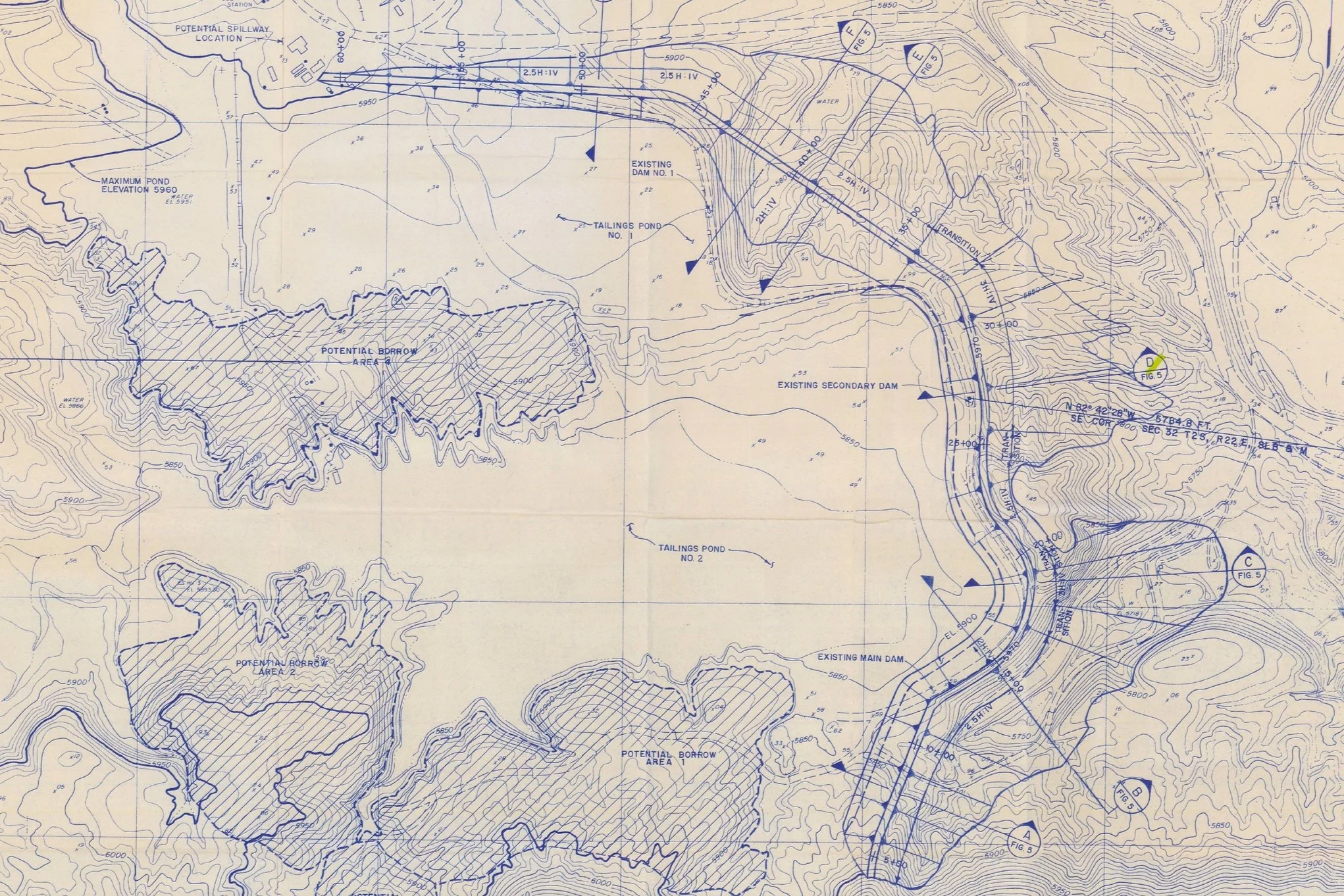
02Update the old
Convert hand-drafted maps and as-built drawings into referenced 2D and 3D polylines, shapefiles, and CAD-compatible formats. Rectification places critical historical records into a modern coordinate system.
 03
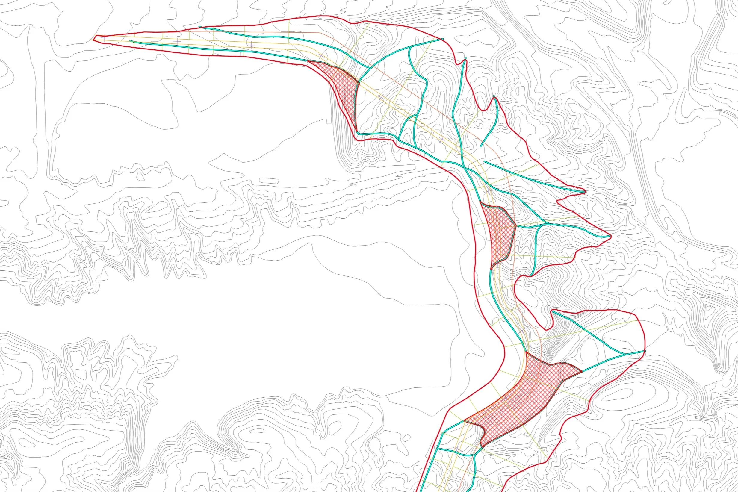
03Create the whole view
Organize imagery, infrastructure, geology, observations, and planning layers into a coherent GIS. Teams can switch context on and off, trace relationships, and export the exact view a decision requires.
Start a conversation
Send us the maps, drawings, imagery, or disconnected files you have. We will help define the path to a usable spatial system.
Discuss a project