One active survey project
FreeThe complete acquisition, mapping, GIS export, and on-device inversion workflow for one active survey project.
Field intelligence / MagTraverse
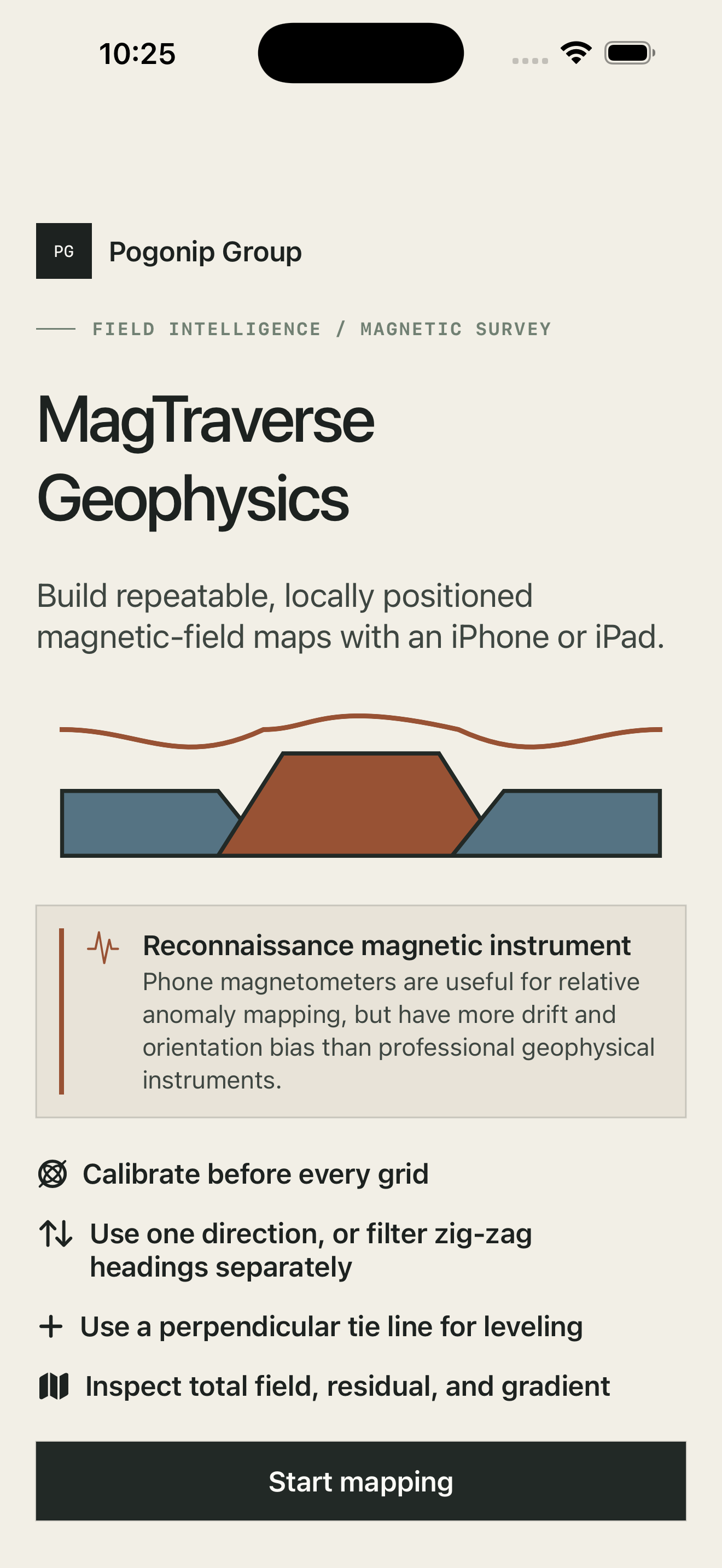
MagTraverse turns Apple devices into an approachable reconnaissance magnetic-geophysics workflow. Collect disciplined traverses, inspect acquisition quality, build scientific maps, export open geospatial formats, and explore terrain-aware 3D inversions—without hiding the limits of the instrument.
A disciplined field sequence
Every stage keeps the acquisition context visible: what the device measured, how the survey was positioned, what processing changed, and where uncertainty remains.
The field workflow
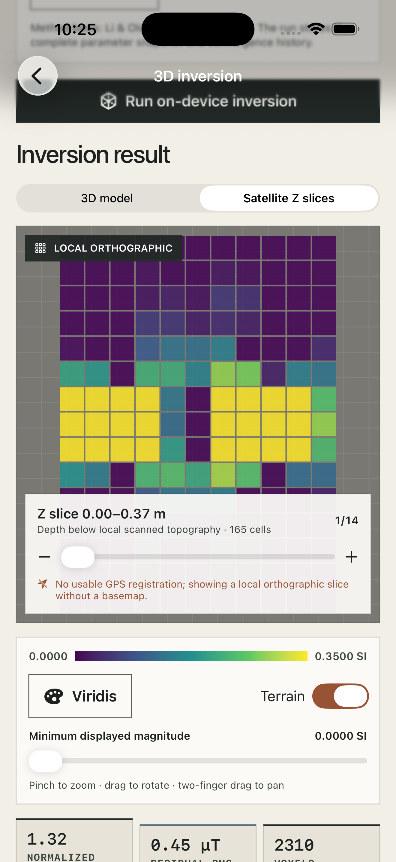
Current production screens show the complete sequence on iPhone: orientation, survey readiness, map review, inversion controls, and interpretation.
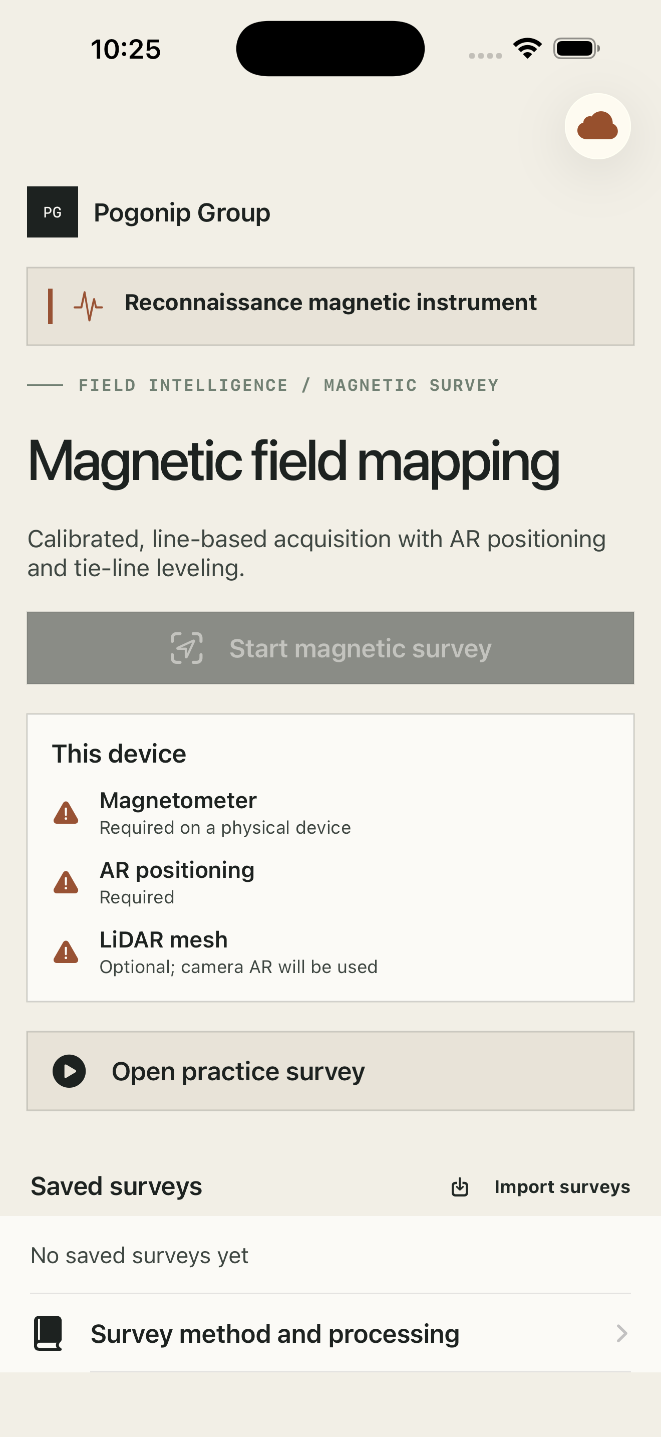
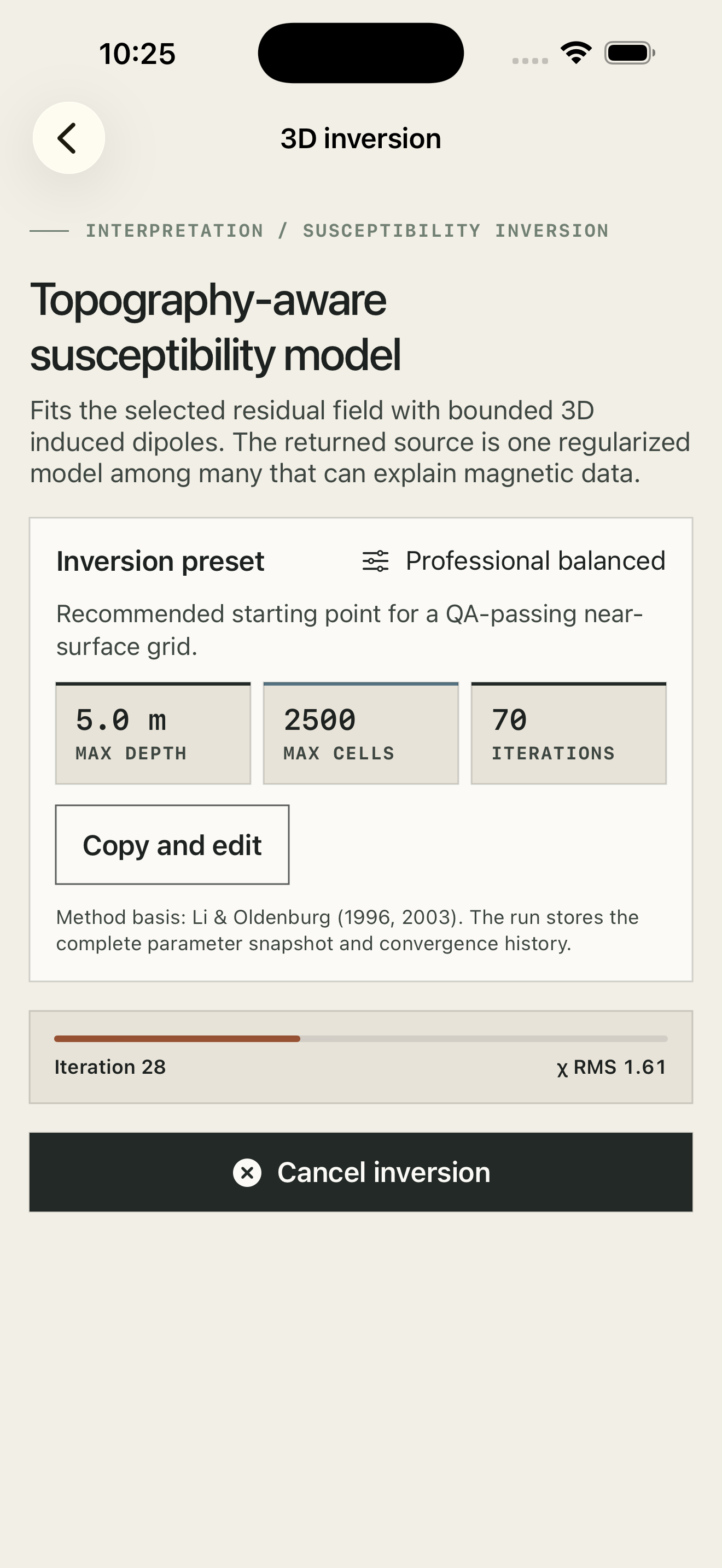
AR-positioned traverses, tie-line control, live heading and level guidance, and GNSS registration make repeatable field collection easier to learn.
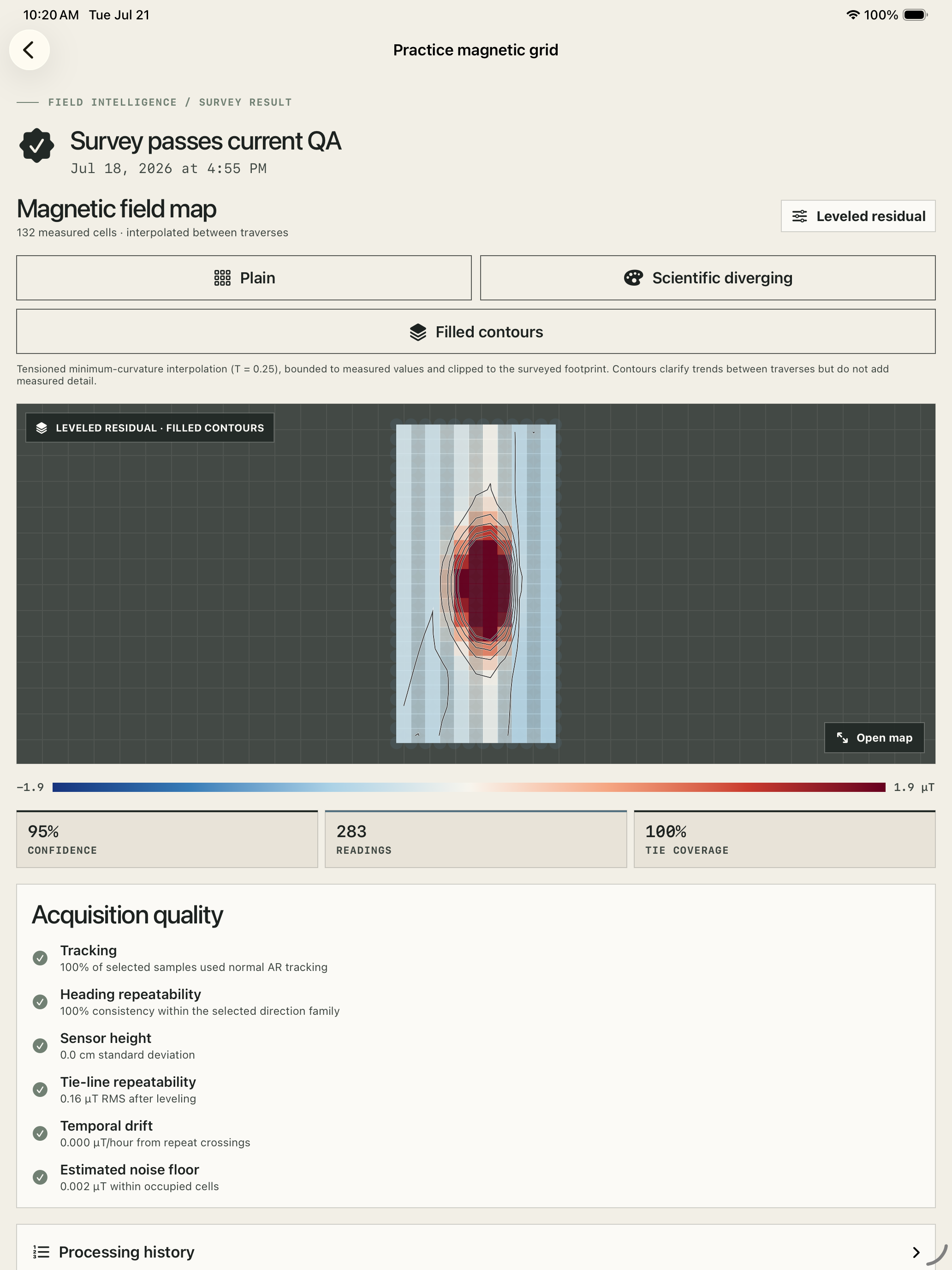
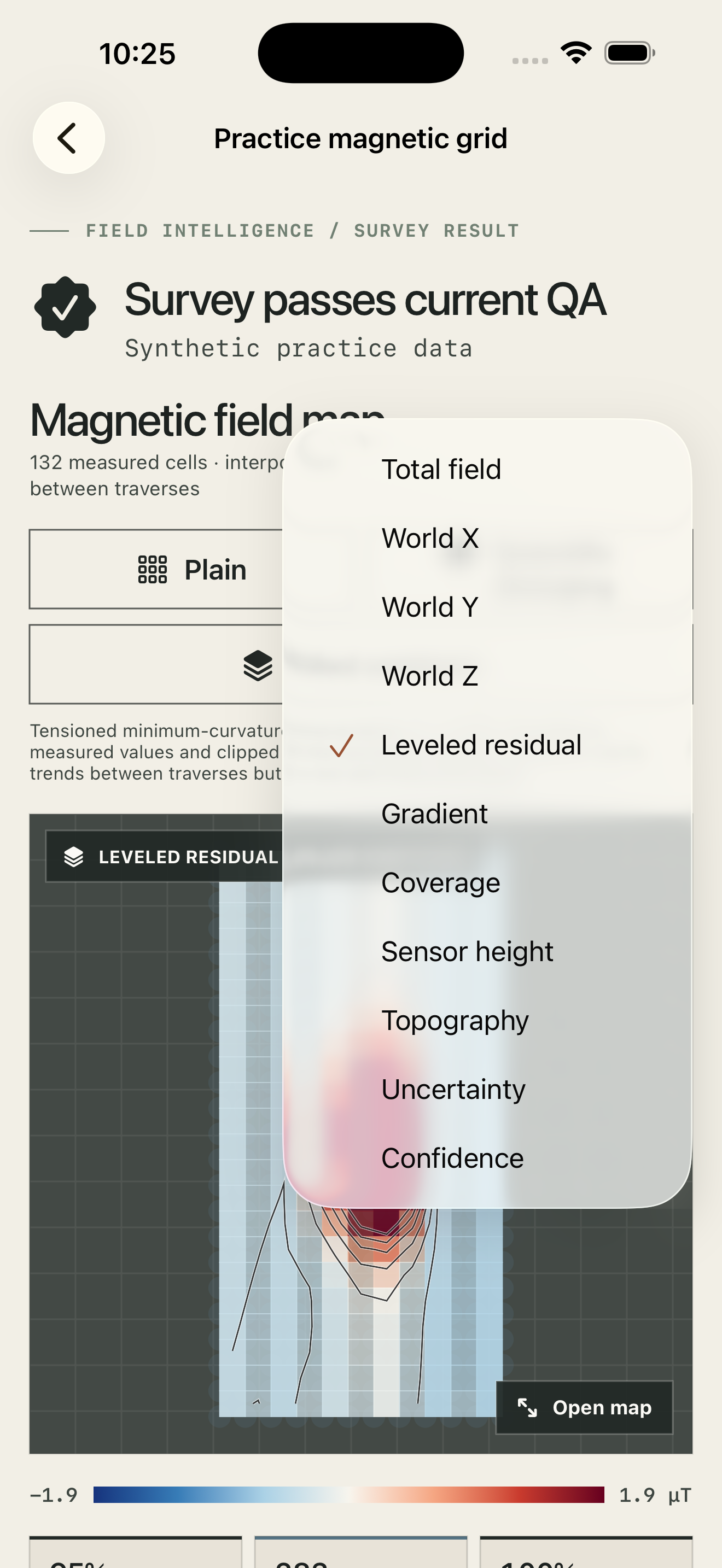
Move from raw three-axis measurements to leveled residuals, bounded interpolation, contours, quality layers, and map-registered outputs.
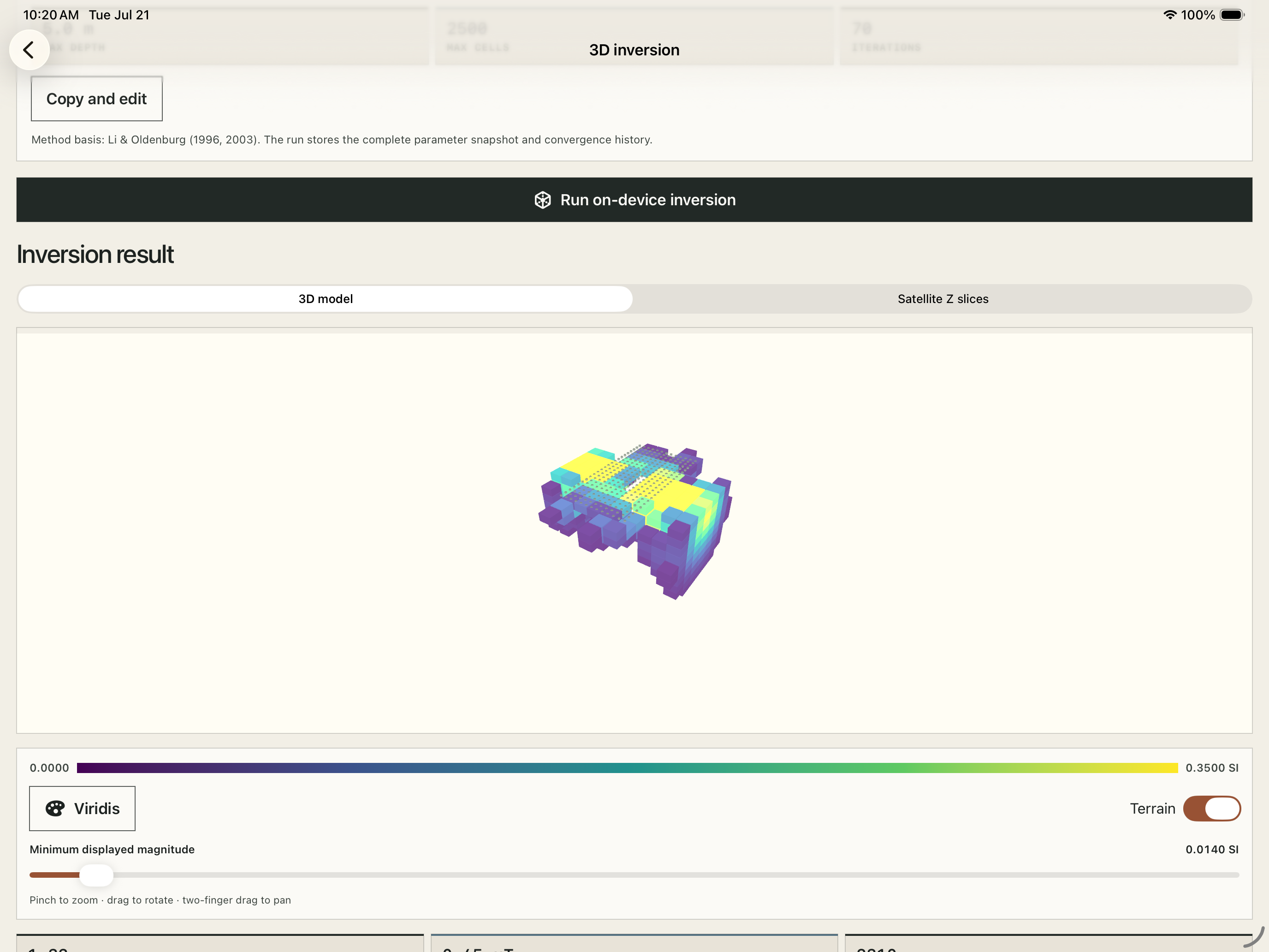
Inspect terrain-aware susceptibility models, depth slices, uncertainty, convergence, and source envelopes directly on device.
Convergence history, uncertainty context, model bounds, and the selected scientific scale stay visible beside the result.
04 / Open deliverables
Export raw and processed records, GeoTIFF, GeoJSON, KML, Shapefile, LAS, PLY, OBJ, and DXF with provenance and coordinate metadata.

Access
The complete acquisition, mapping, GIS export, and on-device inversion workflow for one active survey project.
An unlimited active project library across your Apple devices. Existing projects remain readable if the subscription ends.
Instrument scope
MagTraverse is a reconnaissance magnetic instrument for relative anomaly mapping. Phone magnetometers have more drift, orientation bias, and environmental interference than dedicated geophysical instruments. MagTraverse preserves raw observations and quality context; it does not represent a phone as a survey-grade magnetometer.